FAA Certified • Veteran-Owned • Inspection & Media Capture
AERIAL DRONE
CAPTURE & INSPECTIONS
Servicing Central Florida with high-resolution drone services for 3D site modeling, property inspections, and professional aerial photography. Built for real estate, construction, infrastructure, and commercial projects.
(352) 729-1059
Services
A structured suite of aerial capture, mapping, and inspection services.
Aerial Media & Photography
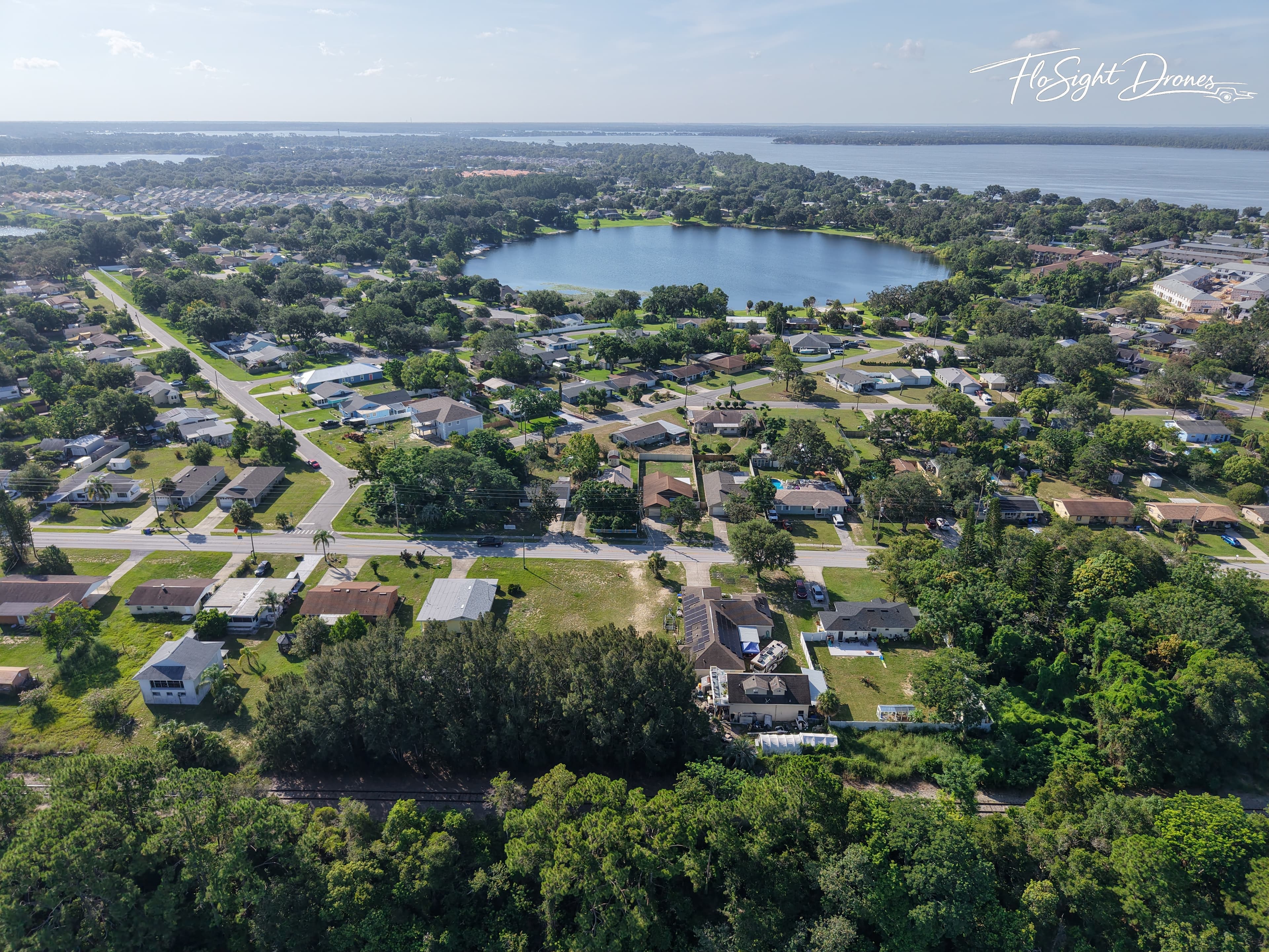
Aerial Photography & Videography
High-quality drone photography and cinematic video capture for real estate, marketing, and commercial projects.
- • Real estate marketing packages (photos, flyovers, lot outlines)
- • Overhead imagery and timelapse video
- • Event and promotional content
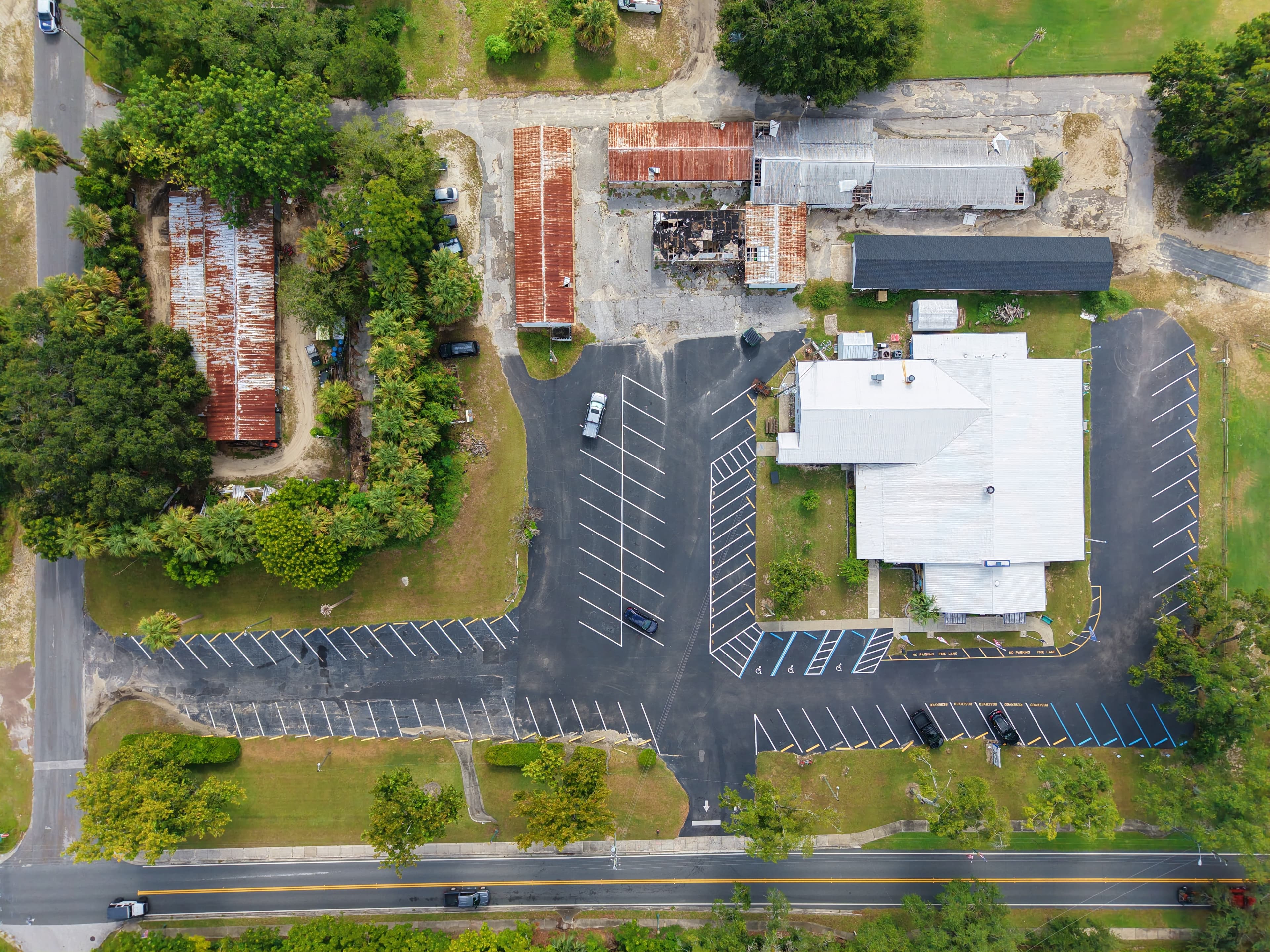
Inspection & Survey Services
Structural Inspection & Monitoring
Aerial inspection services for residential and commercial properties with high-resolution documentation.
- • Roof and building inspections
- • Construction progress monitoring
- • Pre/post-event documentation (non-licensed assessment)
3D Modeling & Mapping
3D Site Modeling & Reconstruction
Photogrammetry-based 3D models created from precision aerial imagery for planning and visualization.
- • 3D navigable property models
- • Site change tracking over time
- • Planning and visualization tools

Advanced & Emerging Services
FPV Scouting & Specialized Capture
Dynamic FPV drone capture for complex environments and high-detail inspections.
- • Fly-throughs of structures and job sites
- • GPS-denied or tight-space environments
- • Pre-incident site overviews
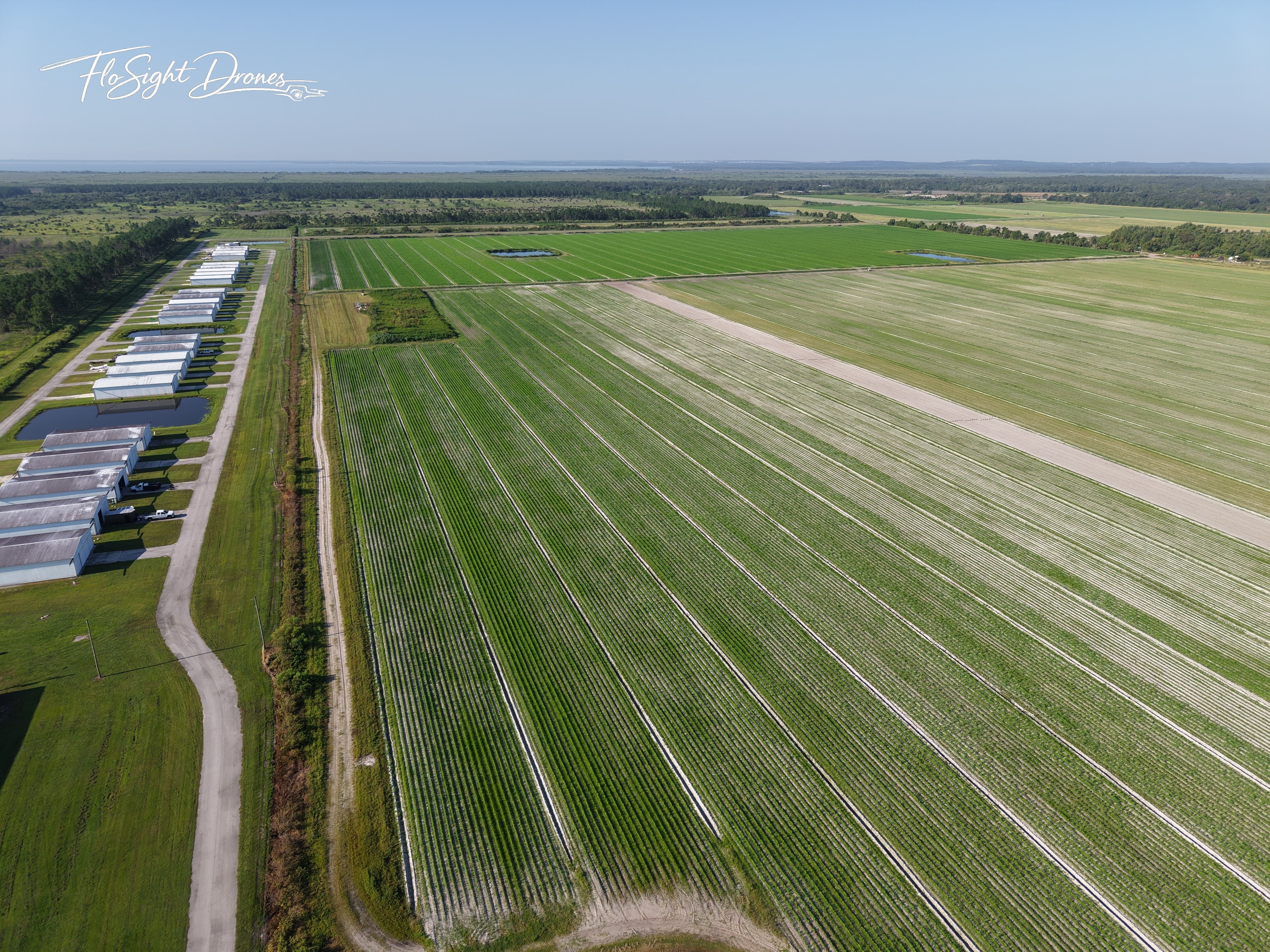
Advanced & Emerging Services
Agricultural & Thermal Imaging (Coming Soon)
Specialized imaging services for agricultural analysis and environmental monitoring (non-certified analysis use cases).
- • NDVI / NDRE crop health analysis
- • Field mapping for irrigation and soil planning
- • Livestock and water zone observation
- • Thermal-style environmental monitoring (experimental use)
Gallery
A selection of aerial captures across residential, commercial, and mapping projects.
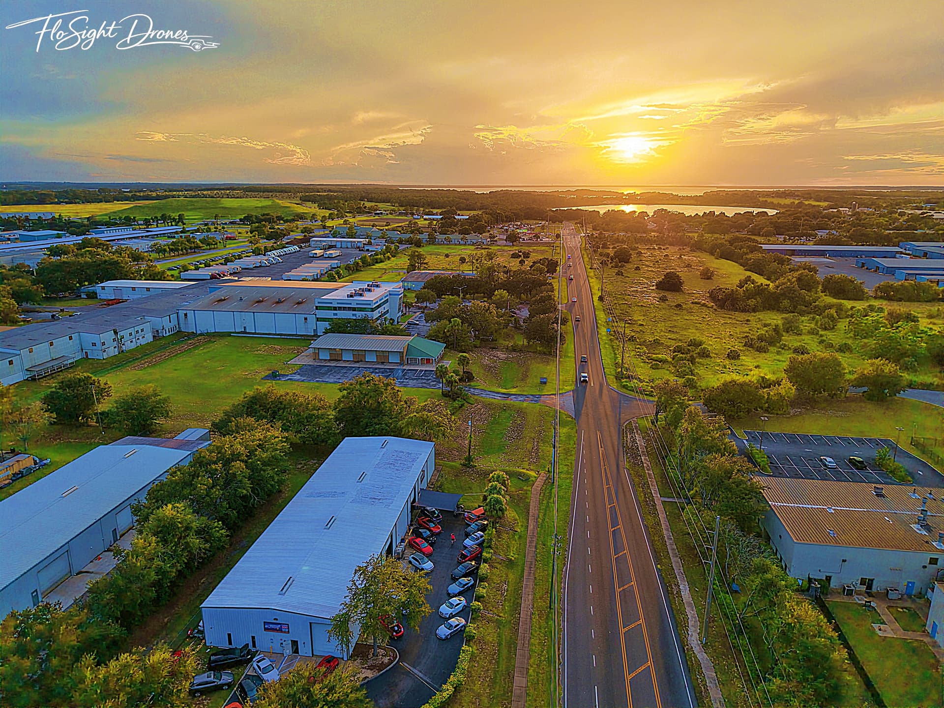
Sunset View
Photography
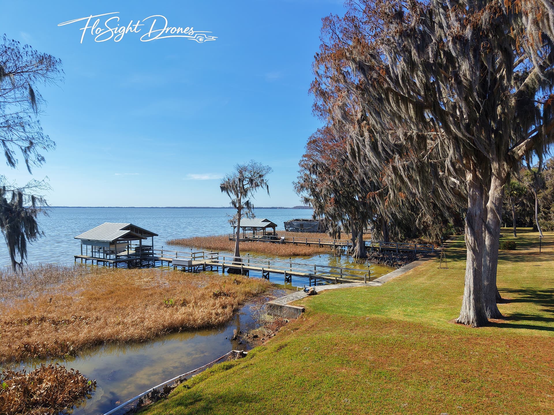
Confined Dock View
Photography
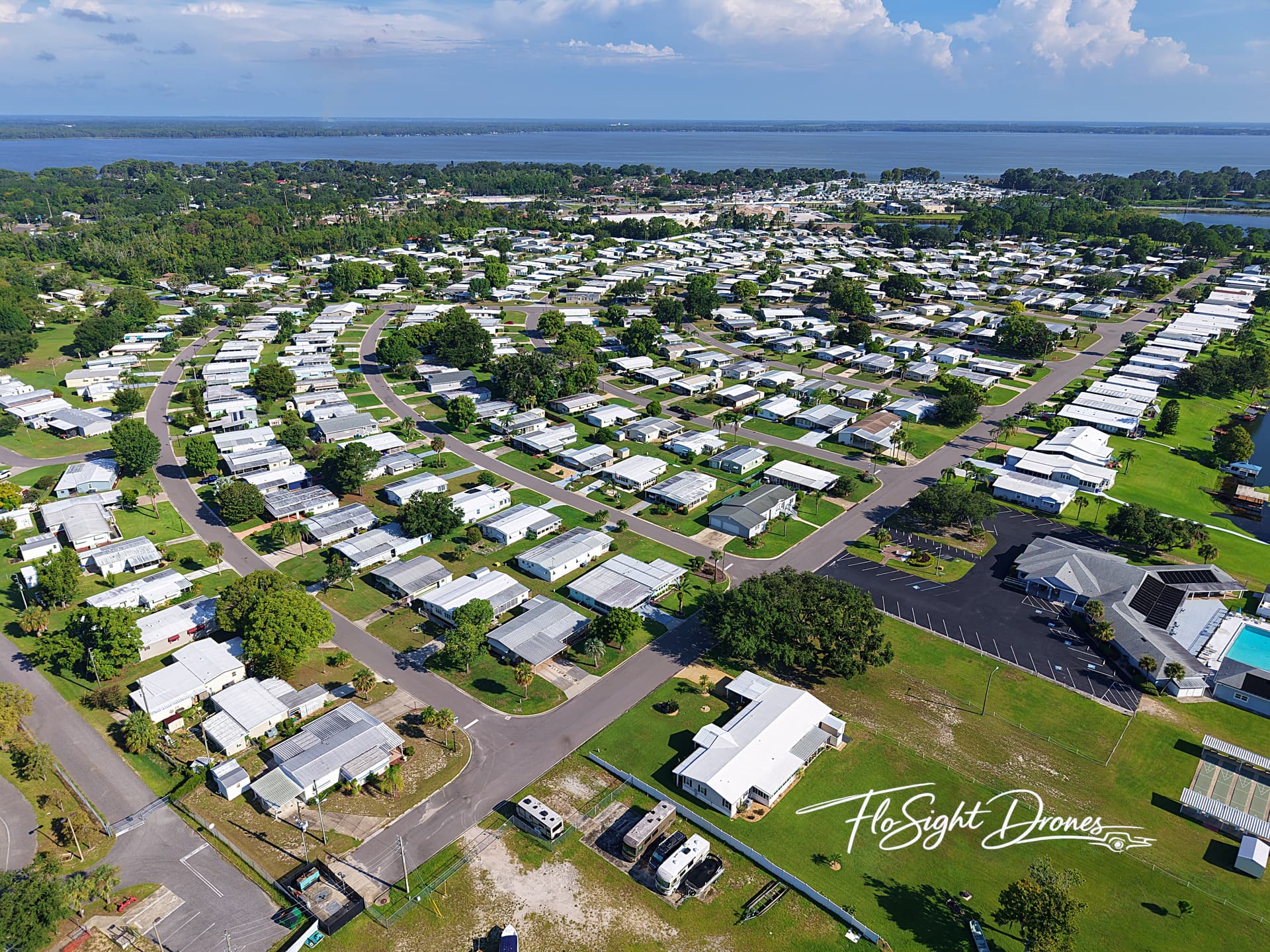
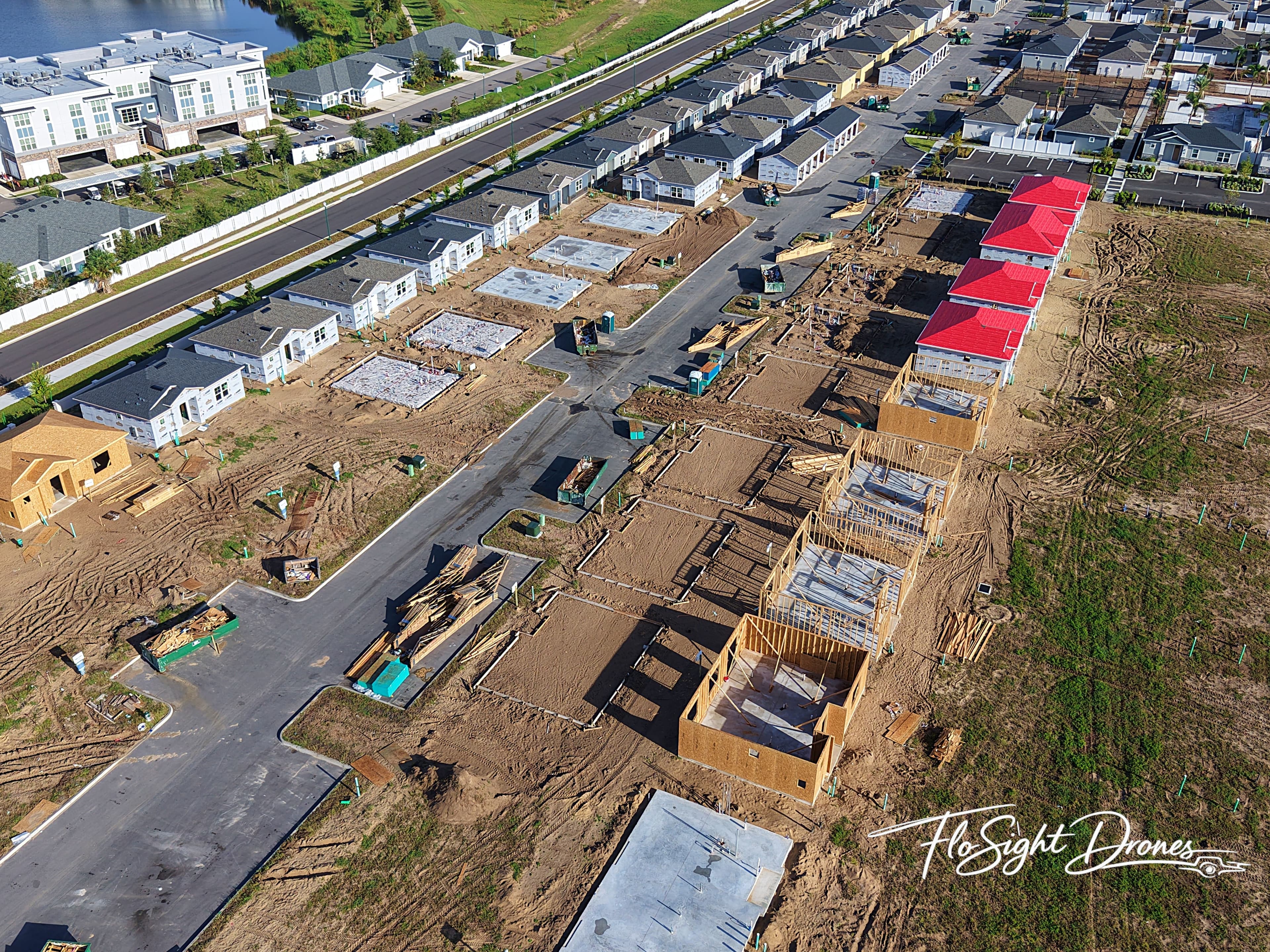
Arial View of Subdivision
Inspection
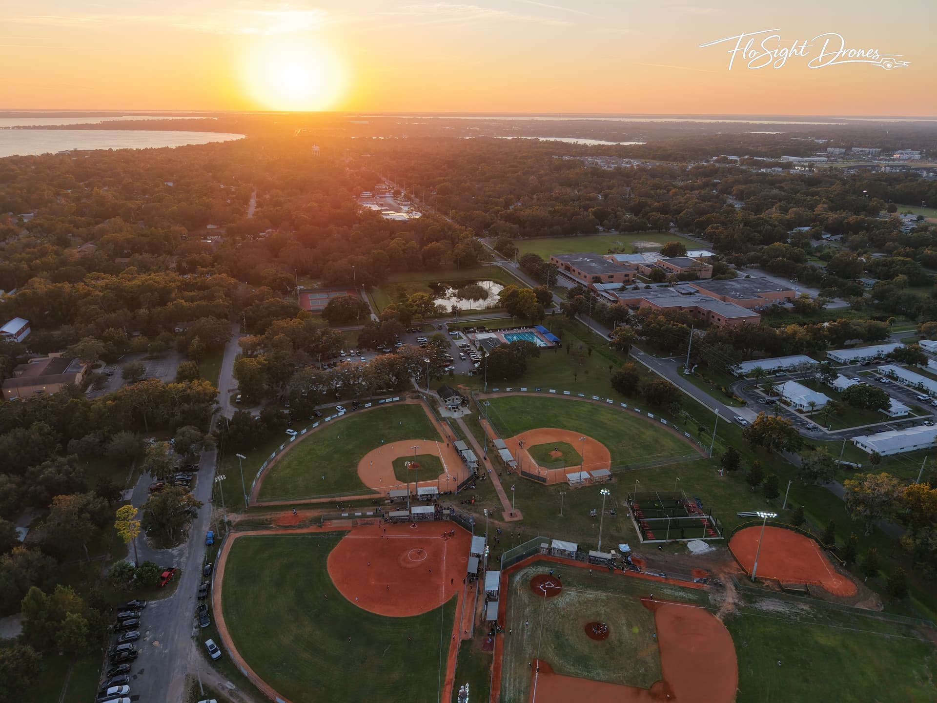
Baseball Field Arial View
Photography
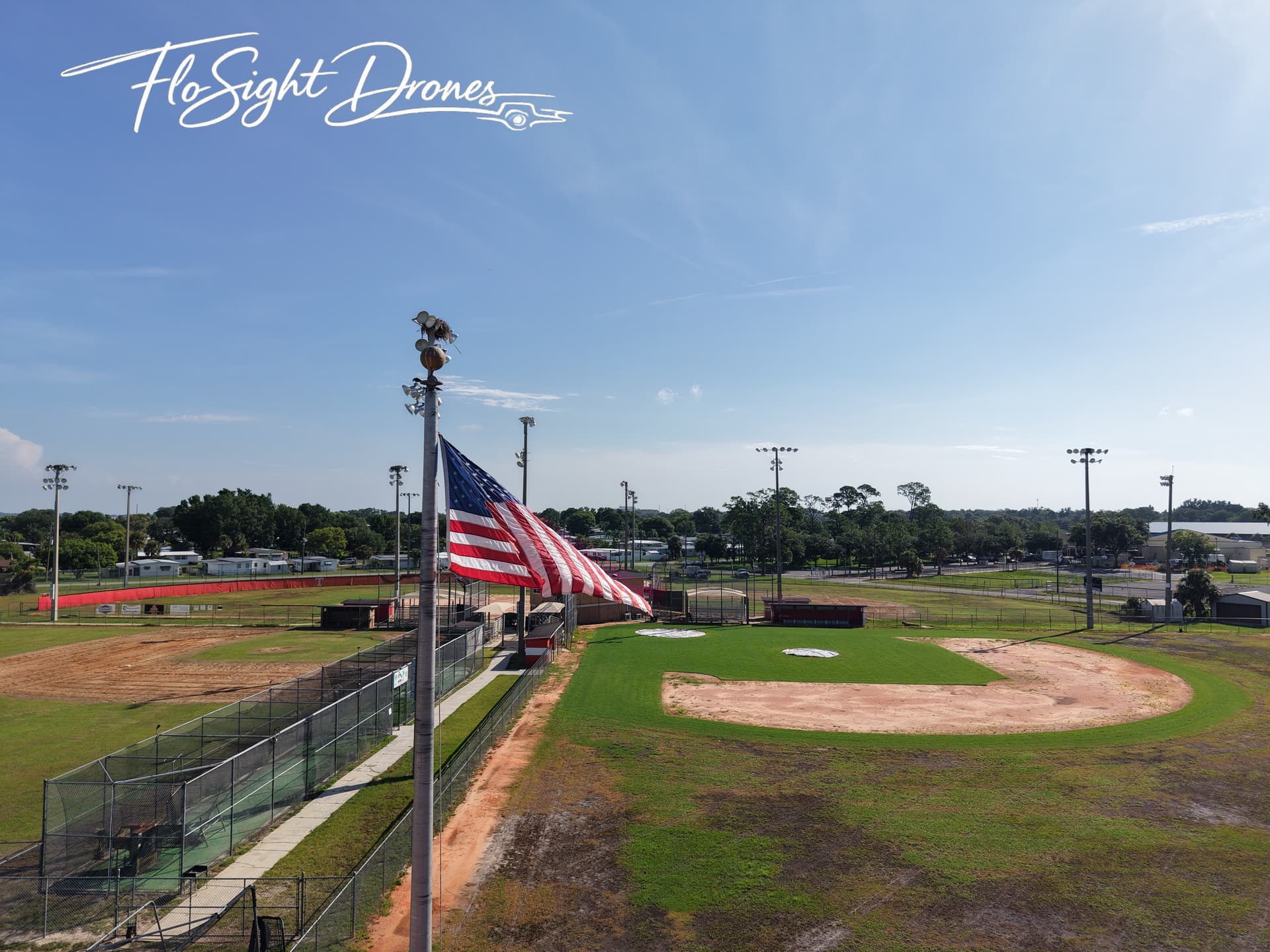
Baseball Field Flag
Photography
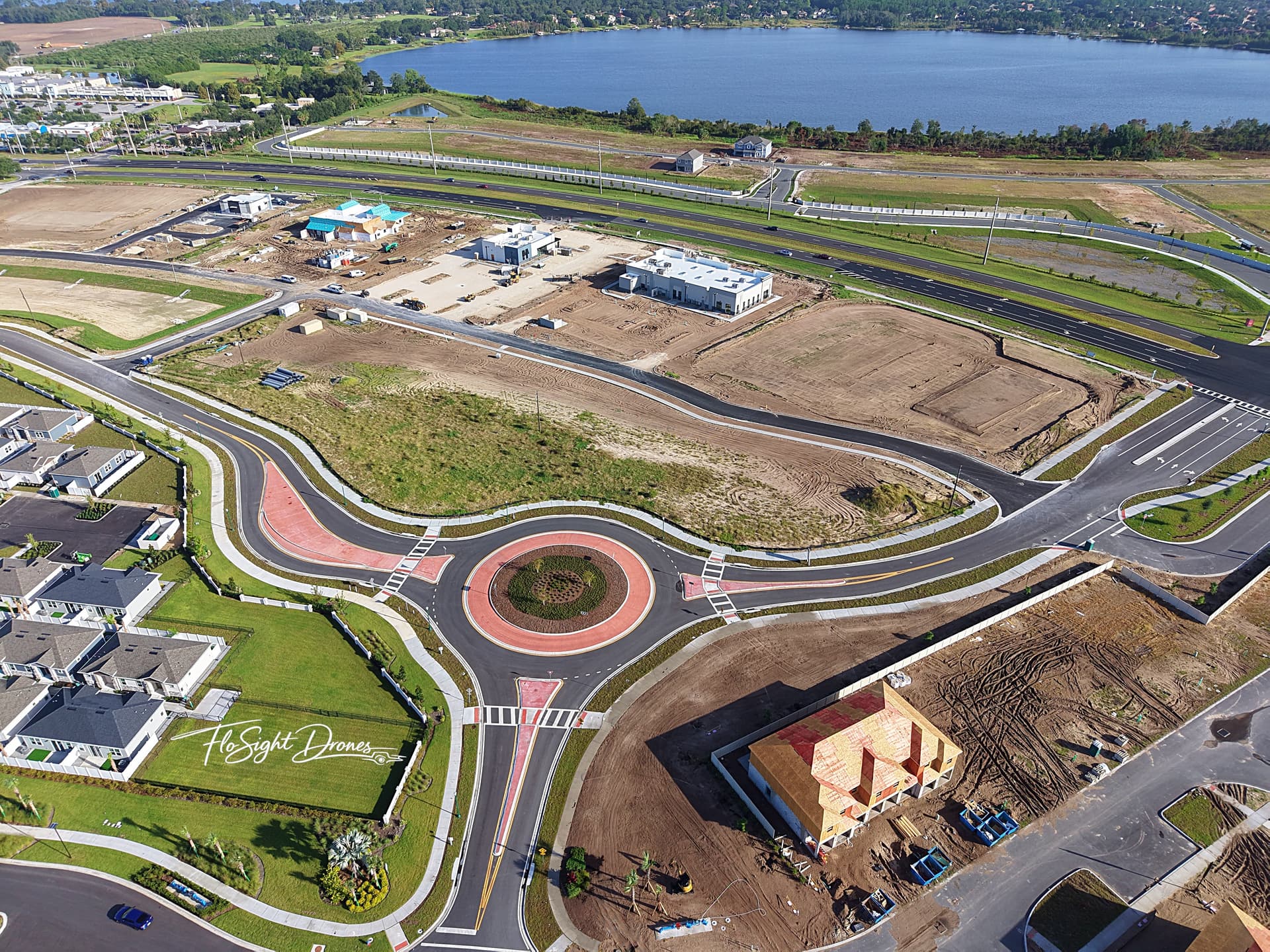
Roundabout Construction Progress
Inspection
Request a Consultation
Tell us about your project and we’ll get back to you within 24–48 hours.
What happens next?
- ✓ We review your request within 24 hours
- ✓ We contact you and review project requirements
- ✓ We provide pricing + scheduling options
- ✓ FAA Part 107 compliant operations
- ✓ Fully insured drone services